from 0 review
8 Day/7 Night
Daily Tour
15 people
English
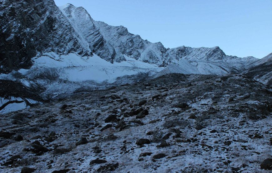
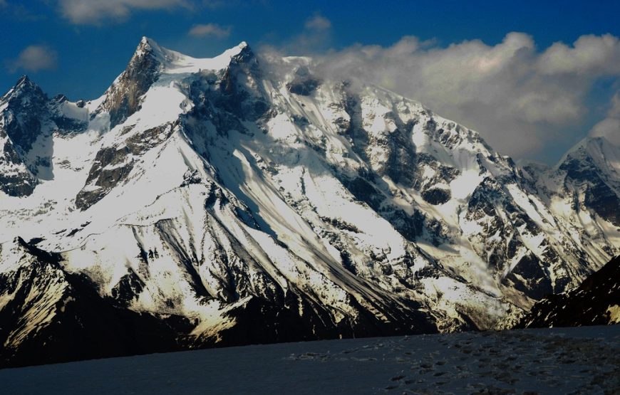
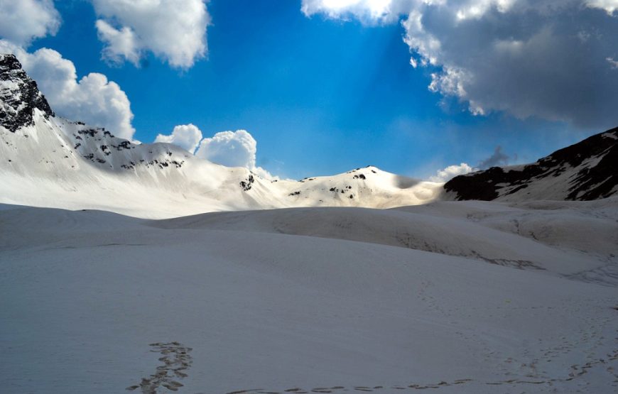

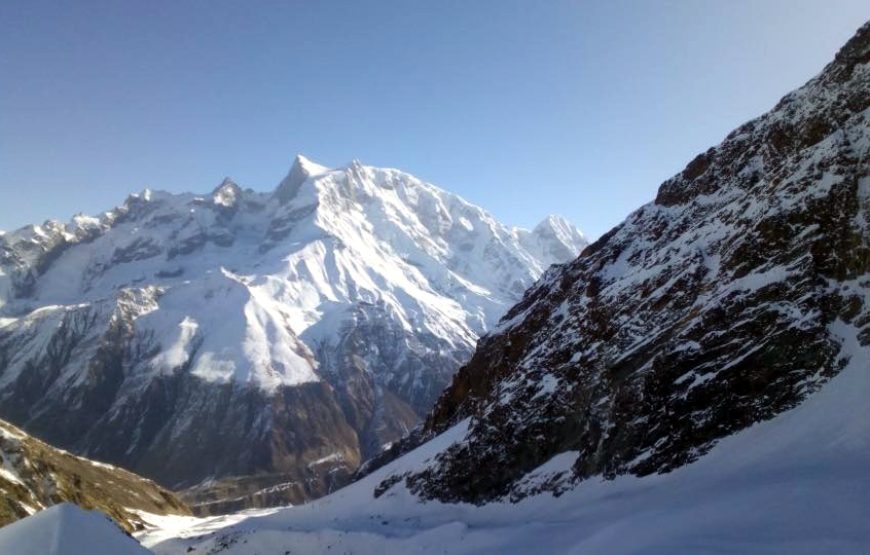
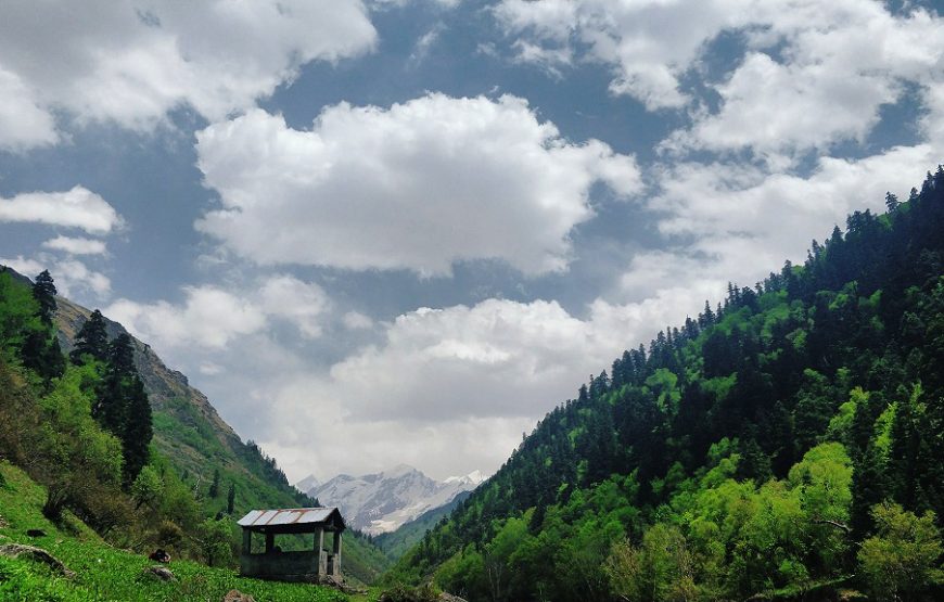
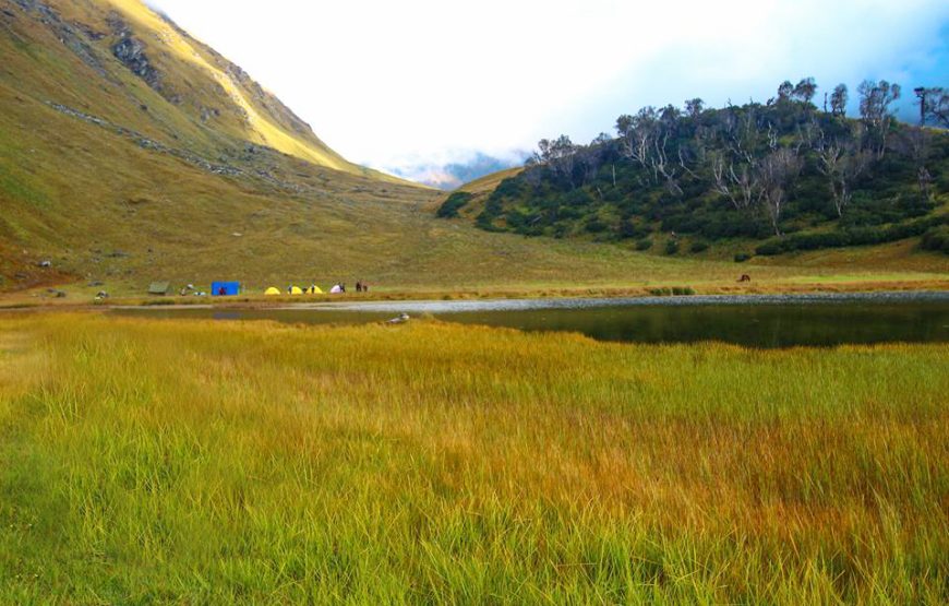
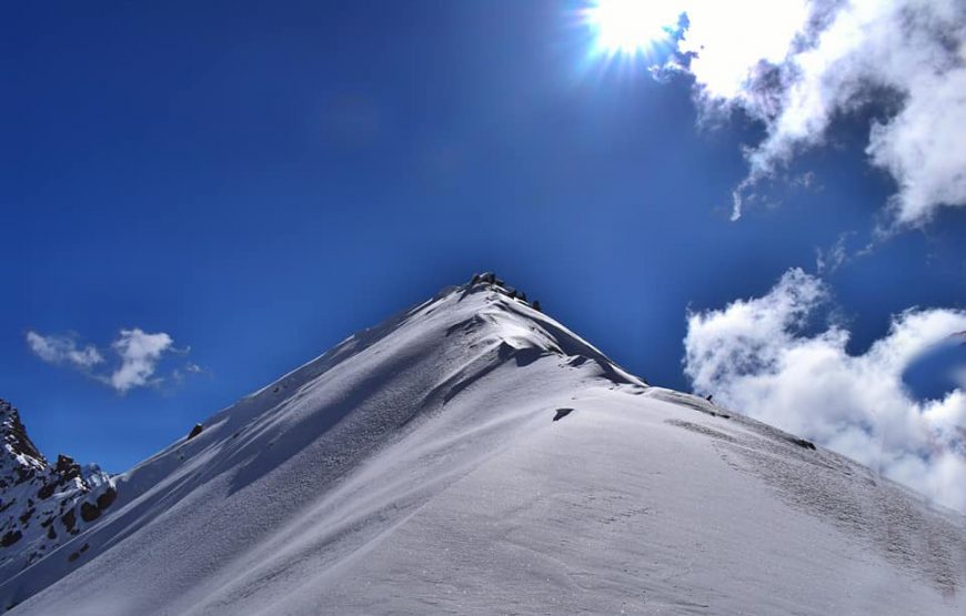
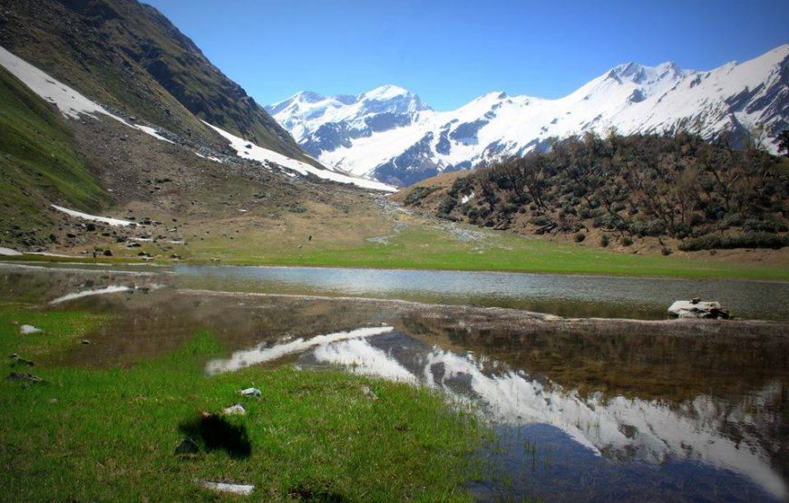
Bali Pass is situated at an elevation of about 4,800 m in the Garhwal Himalayan region and was an old route from the Tons river valley to the Yamuna river valley. It continues to attract trekkers during the monsoon season when the snow melts and the pass is approachable. The pass is more approachable from the Har Ki Dun valley as the gradient is small. The Bali Pass trek commences from Sankri, which is approximately 153 km from Mussoorie and 130 km from Yamunotri by road. The trekking trail stretches for approximately 7-8 days with elevation ranging from 1,900 m to 4,800 m, passing through the charming Har Ki Dun valley. The trail runs through Govind National Park, which houses several colorful orchards, species of animals and birds. The Bali Pass Trek after crossing the Har Ki Dun valley moves through the Ruinsara Tal. The trek to Bali Pass is considered as one of the moderate treks in the Garhwal Himalayan region. The area is surrounded by Bandarpunch range and some of the famous peaks are Kalanag, Bandarpunch west and Ruinsara. This region was made popular by Jack Gibson, a teacher at the Doon school in the late 1940’s.
We start early from Dehradun and drive through the villages of Damta, Purola, Mori, Netwar and reach Sankri by evening. The final stretch is through the Govind Pashu National Park after we cross a check post at Netwar. We rest at night in a guest house or in camps.
Post breakfast we are transported from Sankri to Taluka. The drive is a bit bumpy. The trek commences from Taluka on a stony path. With the river Supin gushing through rapids beside us, under the shade of walnut, pine and other trees, the walk is quite pleasant. Often the passing villagers greet us on the way. The path crosses over a few streams which merge with Supin. After a few hours of walk the village of Gangad can be seen towards the left, across the river. We continue our hike and after about an hour's walk, the quaint village of Osla unfolds itself. Seema is a tiny settlement opposite to the river from Osla. We set camp here or stay in a hut with a local family in the village.
On this day, we continue along the true right of the valley along the Tons river. The trail ascends through the fields and climbs high above the confluence of the Tons and Ruinsara gad. The walk through the forest is beautiful, with Kalanag (6387) visible straight ahead in the valley. We camp beside the stream and close to the waterfall.
We ascend into the Ruinsara valley. There is a stark difference in the vegetation with pine and fir giving way to birch and rhododendron. Ruinsara lake is a lovely lake surrounded by meadows and rhododendron bushes. It is considered sacred by the locals. Overnight in camps near the lake.
We start the day early so as to reach before afternoon. We camp below the pass along the glacial moraine. This is the one of the best locations for a camp with the valley below and the pass behind you. Camping at this altitude is a new experience which very few treks offer.
We start very early today. The trail heads down south, over the ridge. It is a fairly short but steep climb up to the Bali pass on the southern ridge. A lot of glacial scree will be encountered here. We reach the top of the pass by 8 am. You get a gorgeous view of various peaks from here especially of the Banderpunch peaks on a clear day. From the pass, we descend down into the alpine zone and reach the camping grounds of upper Dhamni. This place has water nearby.
We descend to the forested trail leading to Yamunotri. After a quick visit to the famous shrine of Yamunotri, we make our way down the conventional pilgrim trail to Janki chatti. Overnight in guesthouses in Janki Chatti.
This is the final day of the trip and we drive back to Dehradun.
The maximum altitude for this trek is 16,287 ft, offering breathtaking views and a challenging experience.
This trek is rated as "Difficult" due to the high altitude, rugged terrain, and demanding hiking days.
The trek spans 8 Days, including travel to and from Dehradun .
Participants should be at least 15 Year to join this trek due to its demanding nature.
May — June (15C to 20C and night 7C to2C) Sept — Oct (15C to 10C and night 5C to -5C).
Best time to travel to Bali Pass Trek is in Summers (May – June) and Post monsoon (September - October).
The trek starts and ends in Dehradun .
6.30 am To 7.30 am at Dehradun railway Station
You’ll reach Dehradun between 5 pm to 6 pm. You can book your travel any time after 8 pm.
Purola has the last ATM point before your trek begins.
Purola and Sankri have BSNL mobile phone connections that work intermittently (both mobile and landline). Signal is intermittent in the mountains. Do not depend on it. Finish all your important calls at Purola.
The best time to undertake the trek is during Summer or After Monsoon:.
The weather of Bali Pass remains salubrious and pleasing during summers. The Himalayas are distinctly visible and the cool breeze adds charm to the vacation. Carry light woolens with you. The greenery of Bali Pass welcomes the tourist to get lost into the wilderness of nature. Enjoy the sip of tea, gazing at the snow capped peaks at Bali Pass during monsoons. There are chances of getting roads blocked for a couple of hours due to landslides but the scenic beauty of Bali Pass during monsoons is worth taking the risk. Do carry raincoats.
People with conditions such as Bronchitis, Asthma, TB, Epilepsy, high blood pressure, or a higher BMI are not allowed on this trek.
Children under 8 years old are not permitted to join the trek.